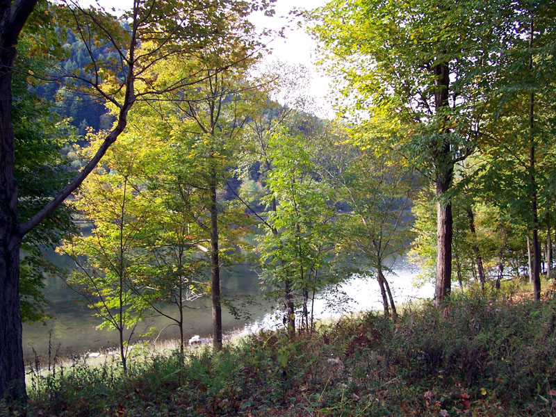
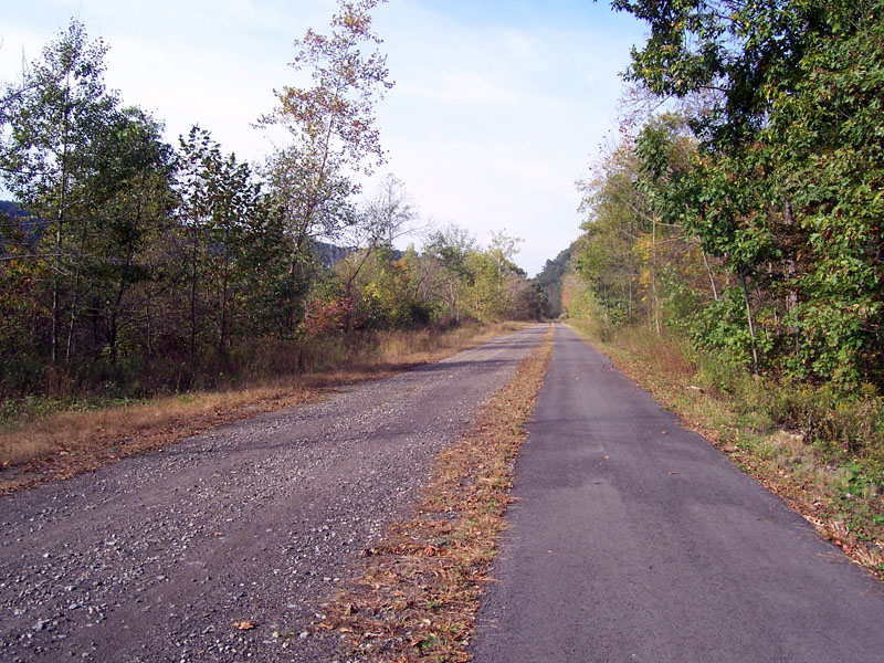
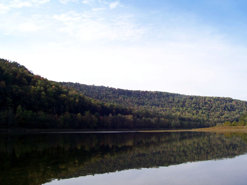
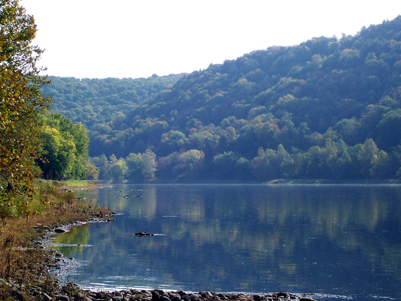
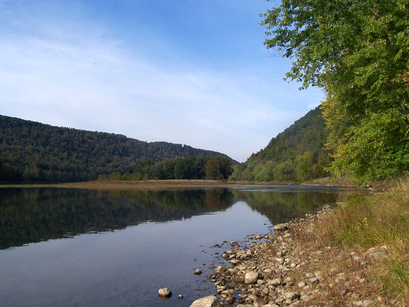
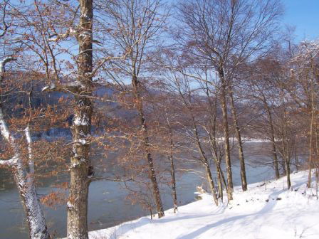
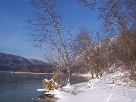
| Belmar Landing - an exclusive riverfront community consisting of custom, single family homes located south of Franklin along the Allegheny River. Phase I is nearly sold out and Phase II is under construction. Belmar Landing is a gated community. The Allegheny Valley Trails paved bike and walking trail passes through the property and provides ready access to anyone wishing to travel on the inter-connected 40 + miles of paved recreational trail network. |
|
||
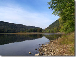
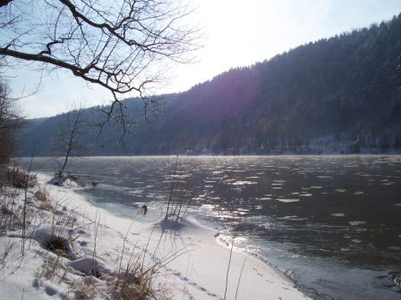
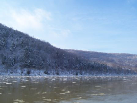
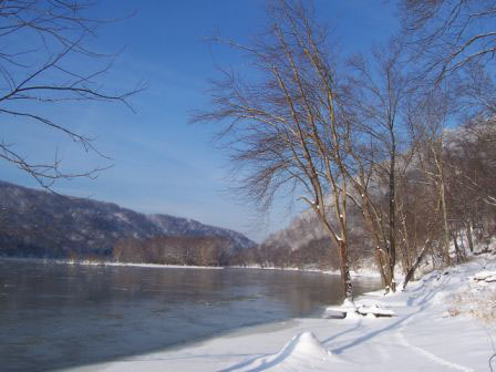
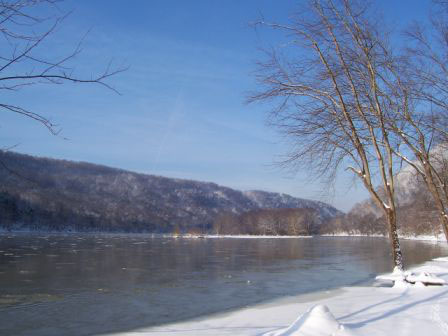
| The segment of the Allegheny River river which passes through
Belmar Landing was accepted into the federal "Wild and Scenic Rivers" program in
1992 by Congress. This designation attests to the unspoiled
nature of the river valley along this section of the waterway.
Wildlife, including deer, turkey, waterfowl, and even an occasional black bear
and bald eagle can be seen. |
|||
| In keeping with the beauty of the natural surroundings at Belmar Landing, all utilities serving the homes are buried. Additionally, only an area of one acre is permitted to be developed on each lot. All additional area must remain in its natural state. Lots are large enough to maintain the dominance of nature in the valley. Other deed restrictions which further the preservation of the natural surroundings apply. | |||
| Please contact us at 814-671-6564 if you have further questions or e-mail us at tcochran@alleghenywoodland.com (Click here for a map which can lead you to Belmar Landing.) |
|||
|
Click on the pictures
below to see larger images. |
|||
|
The property on which Belmar Landing sits and the immediate surroundings have a long history. Beginning in the early eighteenth century, western Pennsylvania became the centerpiece in the struggle between the French and British empires for control of the fur trade and settlement of lands to the west. This conflict periodically erupted in small armed skirmishes and led to the construction of three forts in nearby Franklin over a short span of thirty-four years representing three different regimes ( French – Fort Machault ( 1753 ), British – Fort Venango ( 1760 ) and American – Fort Franklin ( 1787 ) ). In order to stake their claim to the region, the French commissioned an expedition in 1749 from their base in Quebec through western New York to the site of present day Warren, Pa. and then down the Allegheny ( known as the “Belle Riviere” or Beautiful River by the French ) to Pittsburgh. Captain Bienville de Celoron led this expedition and Father Bonnecamps served as both a missionary and navigator. The purpose of this expedition was to establish relations with the Indians in the area and make clear to both Indians and outpost British traders and settlers that this land was France’s. Along the way, the expedition buried inscribed engraved lead plates at key points to stake France’s claim to the region. The lead plate buried at Warren was recovered and sent by the Seneca Indians to their allies, the British. This is a translated excerpt of the inscription on this plate :
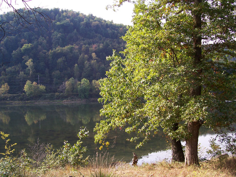
One of these lead plates, never recovered, is buried approximately one mile downriver from Belmar Landing on the opposite shore of the river. On August 3, 1749, the expedition left Franklin and headed south on the Allegheny River. After passing the “Riviere aux Boeufs” ( French Creek) and another creek on the left ( East Sandy Creek ), the expedition reached a bend in the river about nine miles below Franklin, on the left or eastern bank. On this bend in the river lay a large boulder, nearly twenty-two feet in length and fourteen feet wide, on the face of which were hieroglyphics. It was regarded by the natives attached to the expedition as an “Indian God” and held in superstitious reverence. Celeron deemed it a good place to bury his second leaden plate. Celeron recorded the event as follows : “Buried a leaded plate on the south bank of the Ohio river four leagues below the Riviere aux Boeufs, opposite a bald mountain and near a large stone, on which are many figures crudely engraved.” This “Indian God Rock” still exists today and can be seen across the river from the southern end of Belmar Landing or can be inspected by crossing the river at Belmar on the Alleghany Valley Trails bike trail network and riding or walking to the site. Several years later, a young officer in the service of the British, George Washington, passed through the area on his way to Fort LeBouf in Waterford, Pa. in order to formally notify the French that the frontier was claimed by the English crown. On December 4, 1753, he passed up the trail which is now Old State Route 8 and arrived in Franklin. The struggle for the region continued into the 1760’s until the French, suffering several defeats and lacking sufficient support from their homeland, retreated to Canada. With the departure of the French, the Indians were left to deal with the growing settlement by the British, and soon Americans. Indian friction in the area continued until the early 1800’s. The property on which Belmar Landing is located was first settled by John Foster, an immigrant from Maryland, in 1812. The portion of the property along the river ( now Belmar Landing ) was farmed as evidenced by the stone fences that can be seen in places. Eventually, the Foster family also cleared some pastures at the top of the hill ( across which you drive to reach Belmar Landing ). Subsistence farming, combined with some timber harvesting ( lumber was floated in rafts to Pittsburgh ) was the sole means of survival until the discovery of oil. In 1859, Colonel Drake drilled Drake Well near Titusville, Pa. The excitement quickly spread down the Oil Creek Valley approximately 20 miles northeast of Belmar Landing. In 1860, a well was drilled on the property immediately downriver and adjacent to Belmar Landing. This well flowed oil at a rate of 350 barrels of oil per day and opened up what came to be known as the “Foster Third Sand Pool”. Drilling across Belmar Landing and on both sides of the river quickly spread, gradually to wells on the top of the hills. |
|||
|
|
|